🐕 DOG-FRIENDLY — Hoover Dam Trail, Nevada
Score: 86/100 — Great Day to Go
58°F at the trailhead. Feels like 51. Wind's there but calm — 7mph with gusts to 8. AQI is 40, which is as clean as Southern Nevada gets this time of year. I brought Riley out on worse days for worse payoffs.
This is the call for the weekend.
---
Why This Trail Right Now
The Hoover Dam Trail is 3.4 miles, 320 feet of gain, and classified easy. It runs along the Nevada-Arizona border with the dam below you and Lake Mead spreading out to the north. It's not a wilderness experience — parking fees, interpretive signs, other people's kids. But it's one of the better easy-to-access trails near Las Vegas that actually gives you something worth seeing at the end, and today it's running at 86 out of 100.
I flag one thing: there is one fire burning within 50km right now, about 40.7 km from the trailhead. Fire risk is elevated but the fire count is 1, it's not in the Mojave lowlands, and it's not affecting AQI meaningfully (40, Moderate, O3). I'm not going to wave this away — you should know it exists — but it's also not the kind of flag that should keep you home from a day hike on a sunny Sunday in April. Watch it overnight if you're planning for tomorrow.
Riley's going. That's how I evaluate.
---
What to Expect on the Ground
The Hoover Dam Trail follows the ridge east of the dam structure, giving you the elevated view that the tourist walk at the dam itself doesn't. You're looking down at the Colorado River, the dam face, and the intake towers that look like they're from a 1970s sci-fi movie. On the Nevada side, the trail is paved in sections near the visitor infrastructure and transitions to a more natural surface as you push further.
At 58°F, you won't overheat. April in this part of Nevada sits in a brief comfortable window before the summer heat makes the same trail feel like a mistake. October through April is the real hiking season here, and you're right in it.
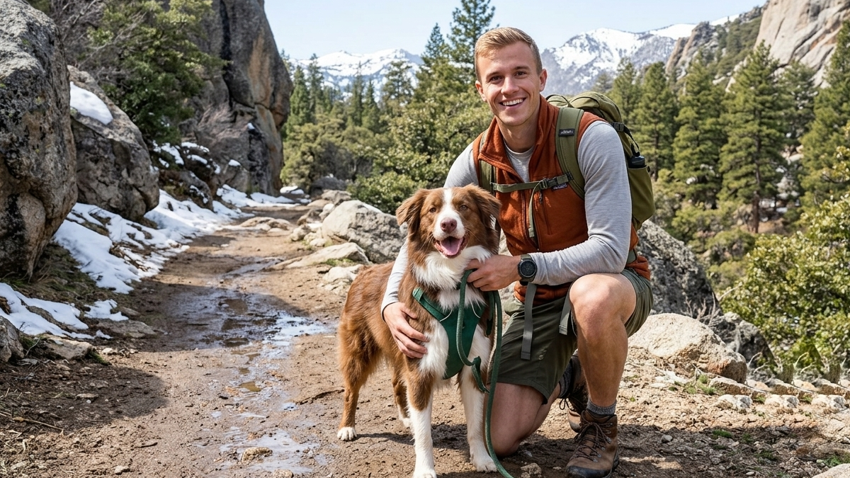
Dogs: The trail is dog-friendly and Riley's been on this one before. The terrain is easy underfoot — no scrambling, no technical sections, nothing that's going to wear out a dog's paws. Bring water for both of you; there's no natural water source on the trail. I run Riley off a collapsible bowl on the tailgate before we go in.
The parking area has shade from structure, which matters more in summer but helps on a warm April afternoon when you're coming back tired.
---
Elevation and Fitness
3.4 miles out and back, 320 feet of gain. That's beginner-appropriate. If you're bringing someone who's new to hiking or returning after a break, this is the right trail. The gain is distributed enough that you're not hitting a steep section — it's a gradual climb that doesn't require stopping.
If you're fit and looking for a workout, this is a warm-up. Hit this and add a bonus loop on the way back, or double-back a second time and call it a long easy day. The view at the turnaround is the same both directions.
---
Parking and Logistics
Access is via US-93 (the Boulder Highway). Follow signs to the Nevada-side parking areas. There are multiple lots with different access points to the trail and the dam visitor center. The main lot fills early on weekends — get there before 9am or after 2pm to avoid the tourist wave.
Day use fee applies. National Park Annual Pass (America the Beautiful) doesn't cover this one — it's a National Recreation Area that requires the separate fee, or you can fold it into a broader pass depending on what you have.
Cell coverage is decent in the parking areas and drops as you move north along the ridgeline. Download offline maps if you're going beyond the main viewpoint.
---
Fire Note (Read This)
Elevated fire risk. One active fire at 40.7km. This is the only yellow light on today's conditions. The AQI is not reflecting it yet — at 40 (O3-driven, not smoke), the fire is far enough out that air quality is unaffected.
If conditions shift overnight and the AQI spikes above 100, or if wind directions move the smoke toward the trail corridor, reassess before you go. Check the alwayshave.fun live score in the morning — if it drops significantly from 86, that's your signal.
Today the numbers say go. Tomorrow's numbers might say the same thing. Just don't leave the house on autopilot without checking.
---
Jake's Take
Hoover Dam Trail is not the hike you tell people about when they ask about your favorite trails. It's not trying to be. It's accessible, it's earned, and it reliably delivers a view that's genuinely impressive — an engineering structure at a scale that still surprises you even when you've seen photos.
At 86/100 with Riley cleared to come, on a 58-degree April Sunday, this is the easy right call. My crew's doing a late morning start, hitting the trail by 10, and back for lunch. The kind of day that doesn't require planning or ambition — just showing up.
That's what a good trail day is.
---
_Conditions current as of 2026-04-20. Check the live score at alwayshave.fun/trail/hoover-dam-trail-nv before you head out. Fire situation is active — recheck morning of._
📍 Live conditions for Hoover Dam Trail →