NO DOGS — Marlette Lake Trail, Lake Tahoe Basin
Score: 70/100 — Good Conditions
37°F. Feels like 28°F. Wind at 6mph with gusts to 7 — so slight wind, nothing dramatic. The AQI is 27, which is genuinely excellent, and that's the number I care about most on a trail like this because the whole point is the view.
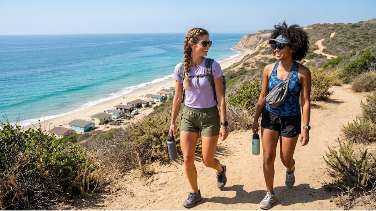
No dogs on this one. It's also bike-legal, which means you might have company on wheels, which has opinions about that.
---
The View Question
Marlette Lake Trail earns its reputation because of what you see when you get there: a high-altitude alpine lake sitting at 8,000 feet in the Virginia Range, tucked into the Tahoe Basin on the Nevada-California border. The lake is intensely blue on a clear day. On a day with AQI 27 and no smoke, the water clarity and the surrounding pines create the kind of scene that makes you consider whether photography is actually a hobby or has just become the thing that gets you outside.
I'll be honest about my biases here. I come to Marlette Lake primarily to photograph the light on the water. Golden hour from the north end of the lake in spring is the kind of thing I text friends about afterward. The AQI at 27 today means visibility is genuinely clean — no haze, no particulate, no diffused light from smoke. If you're carrying a camera, that's worth noting.
---
Today's Conditions in Detail
At 37°F base with the feels-like at 28°F, you're dressing for cold. At 8,000 feet, you'll be hiking into terrain that may still have snow patches on north-facing sections and in shaded areas. The trail itself is generally moderate — 10.5 miles, 1,600 feet of gain — and that elevation profile means the temperature at the lake will be colder than the trailhead.
Start with layers you can shed. Base, insulating mid, wind shell. The wind is calm today (6mph), so you won't need a heavy barrier, but standing at the lake during a break when you've been moving and sweating — you'll cool down fast. The layering isn't precautionary, it's practical.
Fire risk is low. No active fires within 274 km. The AQI source is AirNow at 27 PM2.5 — that's real measured data, not a model estimate. The air is clean.
---
The Bike-Legal Thing
Marlette Lake Trail is bike-legal. This is the most significant operational note for hikers who haven't been here: you will share this trail with mountain bikes, and some of those bikes will be moving faster than you'd prefer in certain sections.
The trail is wide enough in most places that this isn't a genuine safety issue. But if you're looking for a meditative solo hiking experience without the sound of gears and disc brakes, know in advance that this is not that. Particularly on weekends, the bike traffic can be consistent.
The flip side: bikes are not permitted everywhere in the Tahoe Basin. Marlette Lake, specifically, is a designated bike-legal trail, which means it's been evaluated and maintained for mixed use. The tread is in better shape than many hiker-only trails because of that maintenance cycle. That matters at 8,000 feet in spring when muddy conditions would otherwise be punishing.
Dogs are not permitted. Kipper is staying home on this one, which she processes through pointed indifference that I have chosen to interpret as dignity. The no-dog restriction applies to the entire trail corridor.
---
Access: No Cars Past Spooner Summit
The access logistics are specific and worth knowing before you go.
Spooner Summit (US-50) is the trailhead staging point. There is no vehicle access beyond Spooner Summit for the Marlette Lake Trail — you park at the Spooner Lake parking area and access the Marlette Lake Trail from there, climbing through the Spooner Lake Basin before gaining the ridgeline.
This adds context to the 10.5-mile distance: you're building in the approach from Spooner, not starting at the lake's edge. The full 10.5-mile out-and-back from the trailhead to the lake and back includes meaningful elevation gain through the basin before you reach the upper trail.
Parking at Spooner Summit fills on weekends. Early arrival (before 8am) is recommended. There is a day-use fee — Nevada State Parks manages this corridor and requires payment at the trailhead kiosk or in advance.
Cell coverage goes thin once you drop into the basin. Download offline maps.
---
Photography Notes
AQI 27 with clear skies in the Tahoe Basin means visibility is exceptional. The light this time of year — mid-to-late morning — hits the lake from the east and creates a hard reflection that doesn't last long. If you're going for photography, start at Spooner no later than 7am to be at the lake by the time the light is right.
The best compositions at Marlette Lake:
- North shoreline looking south toward the outlet — frame the tree line and the reflection together
- The log crossing near the inlet side — foreground interest with the water and forest behind
- The ridgeline above the lake looking northwest toward the Tahoe Basin — you'll see the lake and the Sierra Crest in the same frame on a clear day
With AQI at 27 today, the Sierra Crest should be visible without haze. That's not always guaranteed in spring when marine inversion and agricultural smoke from the Central Valley can push east through the passes.
---
Olivia's Take
Marlette Lake is not a casual trail. 10.5 miles and 1,600 feet at 8,000 feet base elevation requires preparation, adequate fitness, and the right clothing for temperatures that will drop further than the trailhead reading suggests. I've seen people arrive underdressed for this trail in April and regret it audibly.
But 70/100 in late April with AQI 27 and clean Sierra visibility is a genuinely good day up there. The lake is still showing early-season character — water levels high from snowmelt, fewer crowds than July, and the kind of alpine stillness that you don't get once summer bike season hits full swing.
Dress for cold. Start early. Leave Kipper to her opinions at home. Worth every mile.
---
_Conditions current as of 2026-04-20. Check the live score at alwayshave.fun/trail/marlette-lake-ca before heading out. Temperatures at elevation will be lower than the listed trailhead reading._
📍 Live conditions for Marlette Lake Trail →