🐕 DOG-FRIENDLY — Paria Canyon, Vermilion Cliffs NM, Arizona
Score: 100/100 — Great Day to Go
50°F at the trailhead. Feels like 44°F. Wind is 1mph — I'm not typing that wrong, it's one mile per hour. AQI is 33 (Good). Zero fires within 50km. Nearest fire is 218km away.
This is the number. 100 out of 100. The system doesn't hand those out frequently, and it doesn't hand them out to 38-mile multi-day permit-required canyon treks for no reason. Every variable that matters is green today.
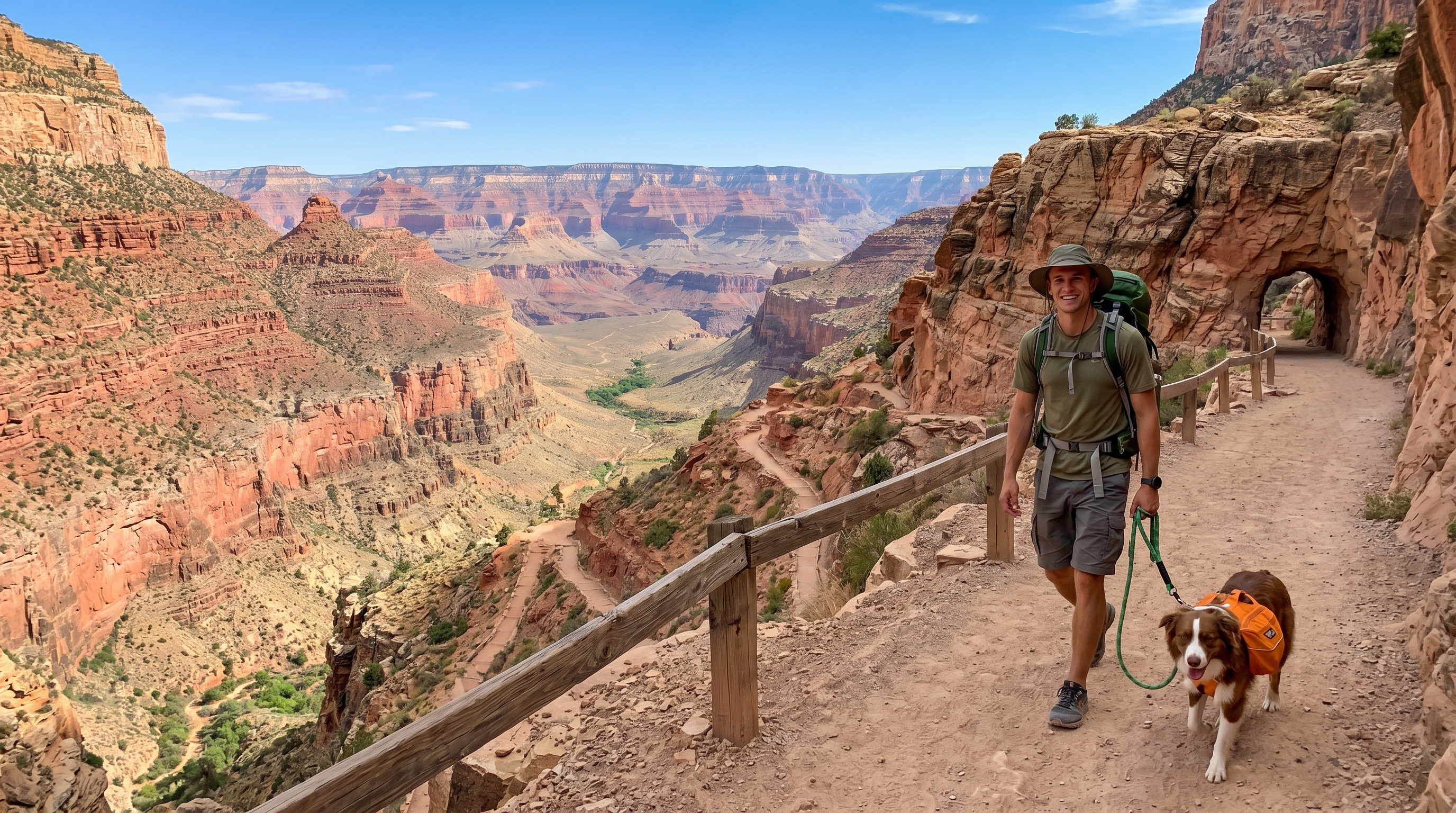
Riley is coming.
---
What Paria Canyon Is
If you've been hiking in the Southwest long enough, Paria Canyon is on the list. It's a 38-mile slot canyon backpacking route through the Vermilion Cliffs National Monument, running from the White House Trailhead in Utah down to Lees Ferry in Arizona. You need a permit. You need a shuttle. You need multiple days — most people do 4-5 days, moving through progressively deeper and narrower canyon sections.
It is one of the most photographed canyon systems in the American Southwest for reasons that become obvious within the first mile. The walls are sandstone, banded in oranges and reds and purples, and in some sections they close to shoulder-width above you while opening into 500-foot-high chambers below. The Buckskin Gulch section that feeds into Paria is the longest slot canyon in the Southwest.
This is not a casual day hike. This is a trip.
---
Why Today's Score Is 100
Let me walk through the numbers because a 100/100 in late April for a canyon route like this isn't automatic. A lot can go wrong.
Temperature: 50°F at the trailhead, 44°F feels-like. In April, Paria Canyon sits in the window between cold nights and brutal summer heat. You're looking at daytime temps that are genuinely comfortable for a pack-out — cool enough that you're not overheat-stumbling through canyon sections, warm enough that creek crossings (and there are creek crossings) aren't the kind of cold that stops you.
Wind: 1mph. In a slot canyon, wind is largely academic — the canyon walls block most of it. But the approach and exit are exposed, and 1mph means you're moving through open desert terrain without fighting anything. This matters more on a multi-day trip than a day hike.
AQI: 33, Good, O3. No smoke, no dust events, no fire-driven particulate. The views from the canyon rim before you drop in will be clear. The photography inside the slot will have clean light without haze diffusion.
Fire: Low risk. Nearest fire is 218km out. Zero fires within 50km. For a multi-day trip where you're sleeping in the canyon, fire risk matters in a way it doesn't for a 3-hour day hike. No monitoring needed overnight.
Flash flood: Not in today's data, but I want to name it because it's the thing that actually affects whether you should go. April weather in southern Utah can generate upstream storms that produce flash floods in Paria Canyon within hours, often with no rain at the trailhead. Before you go, check the NOAA forecast for the Bryce Canyon/Escalante area upstream. BLM Kanab District (435-644-1200) can tell you the flood risk status directly. The current score is 100, but flash flood risk is weather-dependent in ways our model doesn't fully capture in real-time. Call before you launch.
---
Riley in Paria Canyon
Dog-friendly. That's why we're going.
A few operational notes for anyone running a dog through Paria Canyon:
Leash: Required within Vermilion Cliffs NM. This one's actually enforced by permit holders, not just posted. BLM rangers walk the route.
Creek crossings: Paria River crossings average 12-18 per day depending on water levels. In April with snowmelt, the creek can run calf-deep in sections. Most dogs handle this fine — Riley has no opinion about water that doesn't involve a bowl. But if your dog is small and the water is running higher than usual, know the crossing locations before you commit.
Water: The Paria River is the water source in the canyon. It requires filtering — I use a Sawyer Squeeze on this kind of trip. Dogs will drink from the river without filtering and they're mostly fine, but there's enough agricultural runoff and sediment in Paria River water that I'd filter for Riley too if I'm being careful.
Quicksand: It exists in Paria Canyon, especially near confluences where sediment builds up. It's rarely dangerous — usually knee-deep at worst — but it will hold a dog's leg if they post-hole into it. Move slowly through muddy sections and watch where Riley steps. If she gets stuck, stay calm, lift from the harness, don't yank.
Exit: 38 miles is a long way for a dog over multiple days. Know your dog's fitness level before committing. Riley can do it. A dog that hasn't done multi-day mileage before might struggle on day 4.
---
Permit and Logistics
Permit required: Through Recreation.gov. The BLM limits daily entry to control the canyon experience and protect the resource. April is the beginning of the busy season for Paria — permits move quickly once the weather window opens. Book as far in advance as Recreation.gov allows.
Trailhead: White House Trailhead is accessed via US-89 between Kanab, UT and Page, AZ. High-clearance vehicle recommended for the access road, especially after recent precipitation. The BLM dirt road to White House can get soft in wet conditions.
Shuttle: The route is one-way — you start at White House and finish at Lees Ferry. You need two vehicles or a shuttle service. Several outfitters in Kanab offer shuttle service if you're running a single vehicle.
Cell coverage: Effectively zero inside the canyon. Download offline maps (Gaia GPS has good Paria coverage) and share your itinerary with someone before you go in.
---
Jake's Take
I don't use the word "bucket list" for hikes. It sounds like something you put off indefinitely. But Paria Canyon is the kind of trip that warrants the honest version of that sentiment: this is a place that shifts your reference point for what a canyon can look like. Walking inside slot walls that are 500 feet high and sometimes barely wide enough for your shoulders changes the way you think about scale.
100 out of 100 in late April is the rare alignment of everything cooperating. The score will drop in summer (extreme heat, thunderstorm flood risk). It's moderate in March (cold nights, higher flood risk from snowmelt). April sits in the window where all of it is manageable.
Check flash flood risk the morning you go in. Book your permit. Bring a filter for the water. And bring the dog.
---
_Conditions current as of 2026-04-21. Check the live score at alwayshave.fun/trail/paria-canyon-az before you leave. Flash flood risk is not fully reflected in the score — call BLM Kanab District for same-day conditions: 435-644-1200._
📍 Live conditions for Paria Canyon →